File:Panicum virgatum1.jpg
Jump to navigation
Jump to search


Size of this preview: 800 × 600 pixels. Other resolutions: 320 × 240 pixels | 640 × 480 pixels | 1,024 × 768 pixels | 1,280 × 960 pixels | 2,272 × 1,704 pixels.
Original file (2,272 × 1,704 pixels, file size: 1.34 MB, MIME type: image/jpeg)
Summary
| Description |
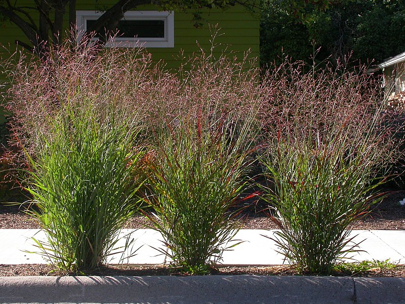
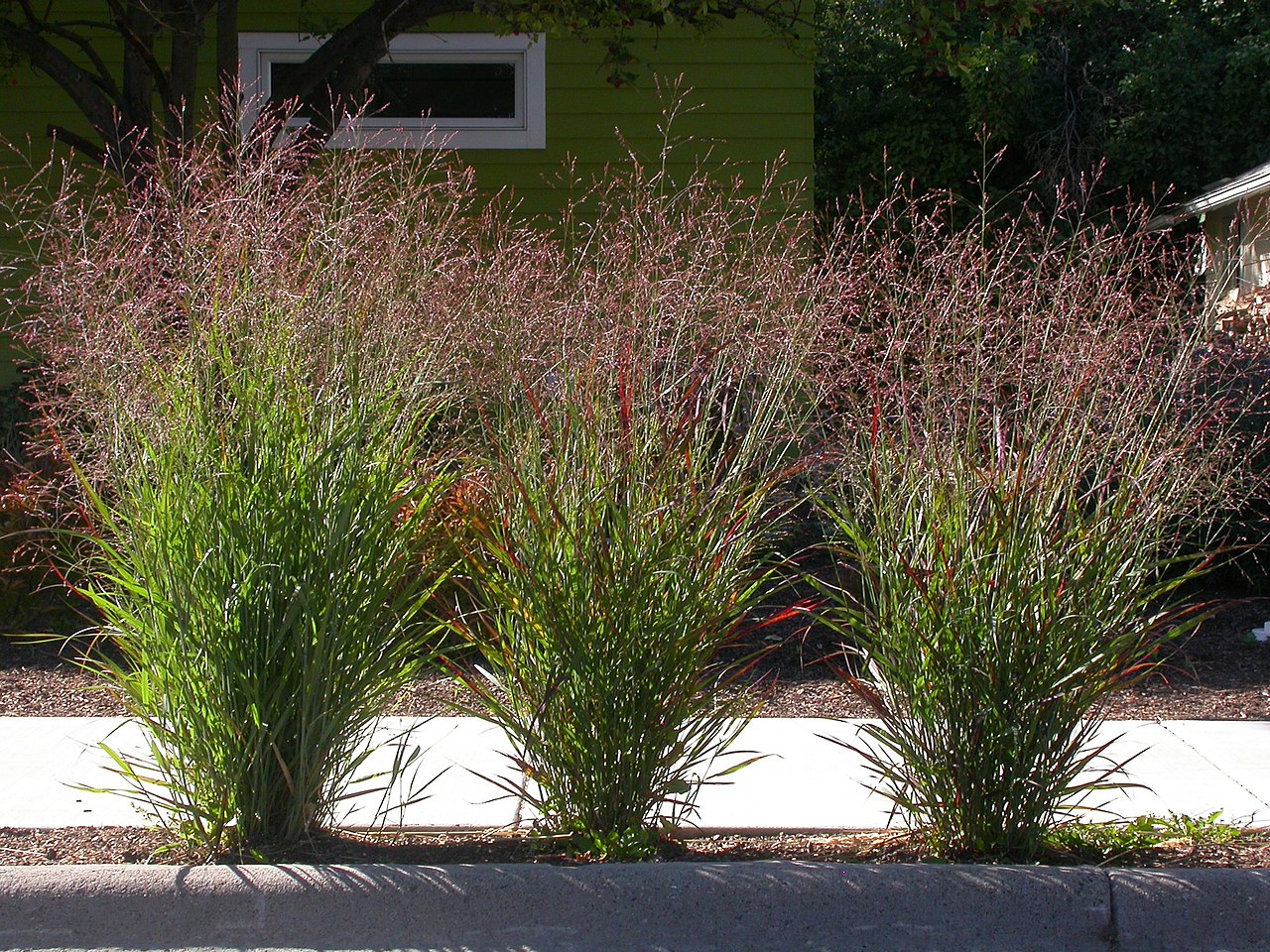
English: Although cultivated as an ornamental, Panicum virgatum is also native but sporadically in the eastern portion of Montana. |
| Date | |
| Source | https://www.flickr.com/photos/plant_diversity/3912256151/in/photolist-6XHksg-DuKzsS-DDKkNy-DbzV5q-DqrP13-DPsJpf-DfCbp5-CZmnHo-DFnNkq-dykuMk-Et4Ccx-CZsJng-DXyety-Donyir-Dimxna-CXfhkH-6XHkDT-DGjqBP-Dm5G3v-DAeiGo-2Y7YZJ-dtJuSq-CWUfPd-DAgcS3-DEQE1v-DEuJrQ-DLrGcA-DuhmS6-DeNsLE-EkwcLo-E9KjWF-DAegDq-8ZVY2A-CF54L1-Ekwacq-Dy5Mni-Ds95GQ-DPKDRu-DujfhP-DVKr59-CZmMDE-DQ6dBw-DtKqFm-DytBpB-CZmBcC-E6YXEr-DonzGi-DXycQy-DUxb5L-D2Q2VK |
| Author | PROMatt Lavin |
| Camera location | | View this and other nearby images on: OpenStreetMap |
|---|
Licensing
| This image was originally posted to Flickr by Matt Lavin at https://flickr.com/photos/35478170@N08/3912256151. It was reviewed on 7 January 2017 by FlickreviewR and was confirmed to be licensed under the terms of the cc-by-sa-2.0. |
This file is licensed under the Creative Commons Attribution-Share Alike 2.0 Generic license.
- You are free:
- to share – to copy, distribute and transmit the work
- to remix – to adapt the work
- Under the following conditions:
- attribution – You must give appropriate credit, provide a link to the license, and indicate if changes were made. You may do so in any reasonable manner, but not in any way that suggests the licensor endorses you or your use.
- share alike – If you remix, transform, or build upon the material, you must distribute your contributions under the same or compatible license as the original.
File history
Click on a date/time to view the file as it appeared at that time.
| Date/Time | Thumbnail | Dimensions | User | Comment | |
|---|---|---|---|---|---|
| current | 17:38, 7 January 2017 | | 2,272 × 1,704 (1.34 MB) | Mr.Rosewater | User created page with UploadWizard |
File usage
The following 2 pages use this file: