File:KoppenGeigerclimatezonesCanada 2017.jpg
Jump to navigation
Jump to search

Size of this preview: 800 × 377 pixels. Other resolutions: 320 × 151 pixels | 1,366 × 643 pixels.
Original file (1,366 × 643 pixels, file size: 616 KB, MIME type: image/jpeg)
Summary
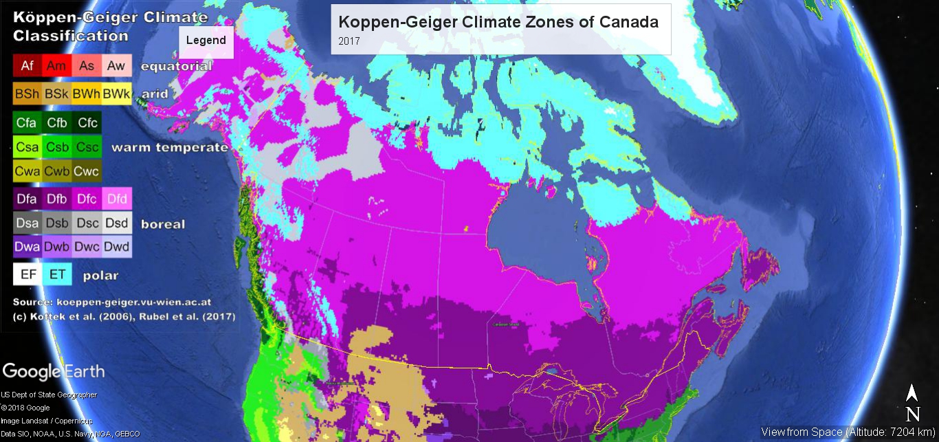
Google Earth generated map of Koppen-Geiger climate zones of Canada, 2017
File history
Click on a date/time to view the file as it appeared at that time.
| Date/Time | Thumbnail | Dimensions | User | Comment | |
|---|---|---|---|---|---|
| current | 00:24, 31 March 2022 | | 1,366 × 643 (616 KB) | Dean Young (talk | contribs) | Google Earth generated map of Koppen-Geiger climate zones of Canada, 2017 |
You cannot overwrite this file.
File usage
The following page uses this file: