Difference between revisions of "Wetlands: Gallery"
Jump to navigation
Jump to search
Jenny Hill (talk | contribs) m |
Jenny Hill (talk | contribs) m |
||
| Line 1: | Line 1: | ||
<gallery mode="packed" widths=200px heights=200px> | <gallery mode="packed" widths=200px heights=200px> | ||
| + | File:Rouge Wetlands.jpg|thumb|Wetlands on the Rouge River, Toronto ON. Photo credit: Vlad Litvinov (flickr) | ||
Emergent wetland vegetation.jpg|Emergent [[plants|wetland vegetation]] supported by stormwater runoff at Kino Environmental Restoration Project. Photo by Matthew Grabau, US Fish and Wildlife Service | Emergent wetland vegetation.jpg|Emergent [[plants|wetland vegetation]] supported by stormwater runoff at Kino Environmental Restoration Project. Photo by Matthew Grabau, US Fish and Wildlife Service | ||
Constructed Wetland.jpg|Azalea Park, Charlottesville VA - "This side of the park, formerly located along a runoff channel that led into Moore's Creek, has been converted into a [[wetland]] which supports a surprising amount of insect and amphibian life." -Credit and Photo: Scott Clark (certhia on Flickr). | Constructed Wetland.jpg|Azalea Park, Charlottesville VA - "This side of the park, formerly located along a runoff channel that led into Moore's Creek, has been converted into a [[wetland]] which supports a surprising amount of insect and amphibian life." -Credit and Photo: Scott Clark (certhia on Flickr). | ||
Latest revision as of 00:33, 12 October 2018
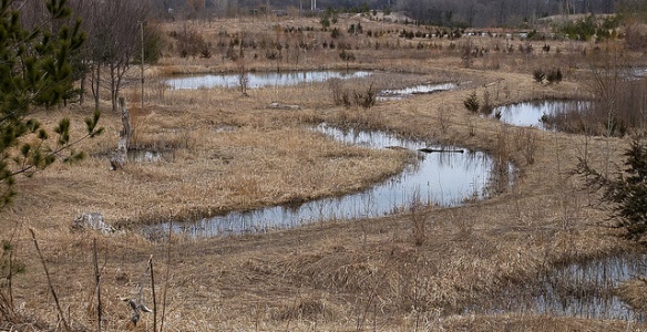
Wetlands on the Rouge River, Toronto ON. Photo credit: Vlad Litvinov (flickr)

Emergent wetland vegetation supported by stormwater runoff at Kino Environmental Restoration Project. Photo by Matthew Grabau, US Fish and Wildlife Service

Azalea Park, Charlottesville VA - "This side of the park, formerly located along a runoff channel that led into Moore's Creek, has been converted into a wetland which supports a surprising amount of insect and amphibian life." -Credit and Photo: Scott Clark (certhia on Flickr).

Walberswick Mill sluice, part of the water level control and coastal defence infrastructure within the marshes, UK


