Uploads by Kyle menken
Jump to navigation
Jump to search
This special page shows all uploaded files.
| Date | Name | Thumbnail | Size | Description | Versions |
|---|---|---|---|---|---|
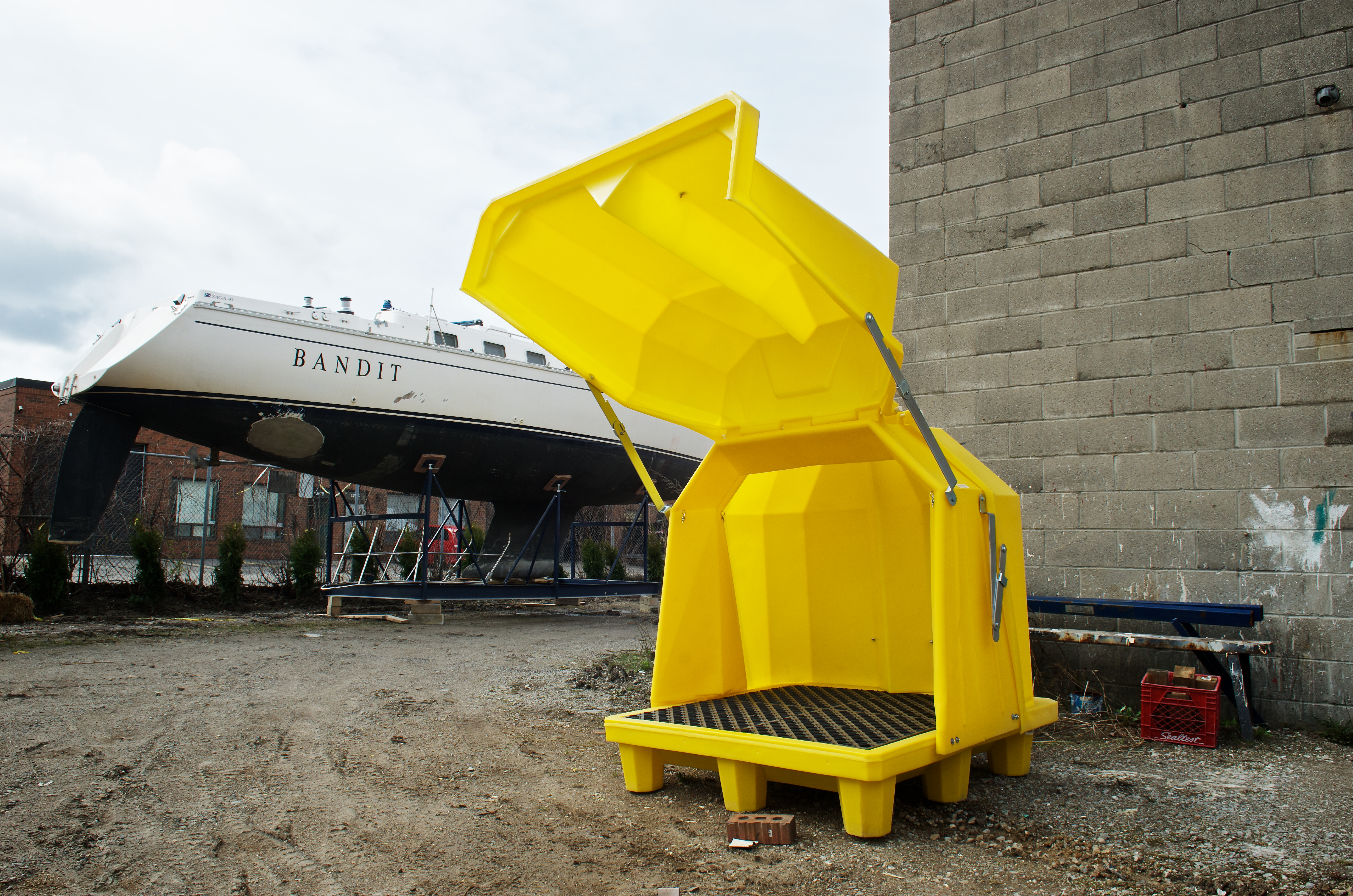
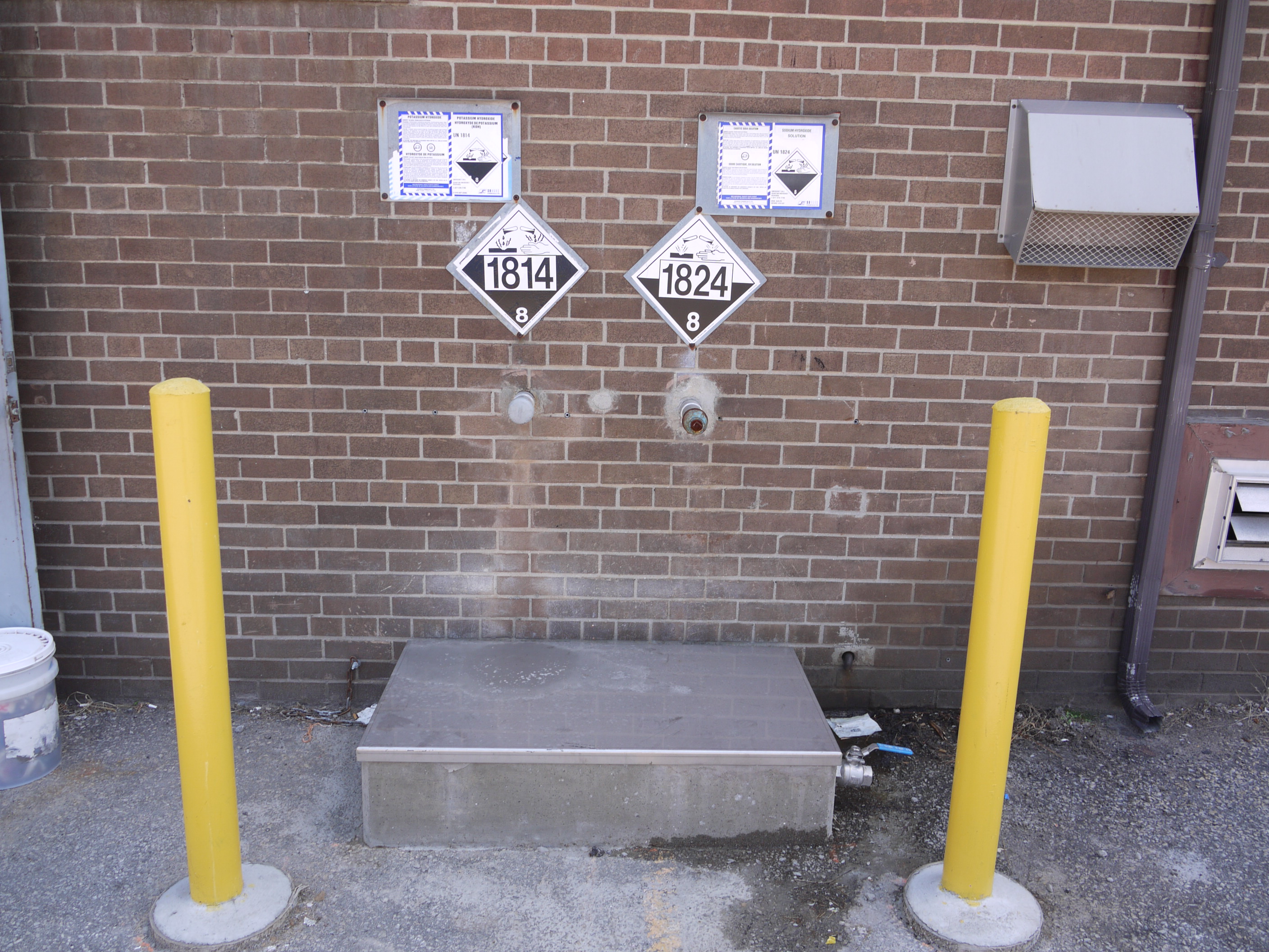
| 16:09, 29 November 2018 | Bernardi and Fedar - solvent containment (P2).jpg (file) | .jpg) |
1.84 MB | 1 | |
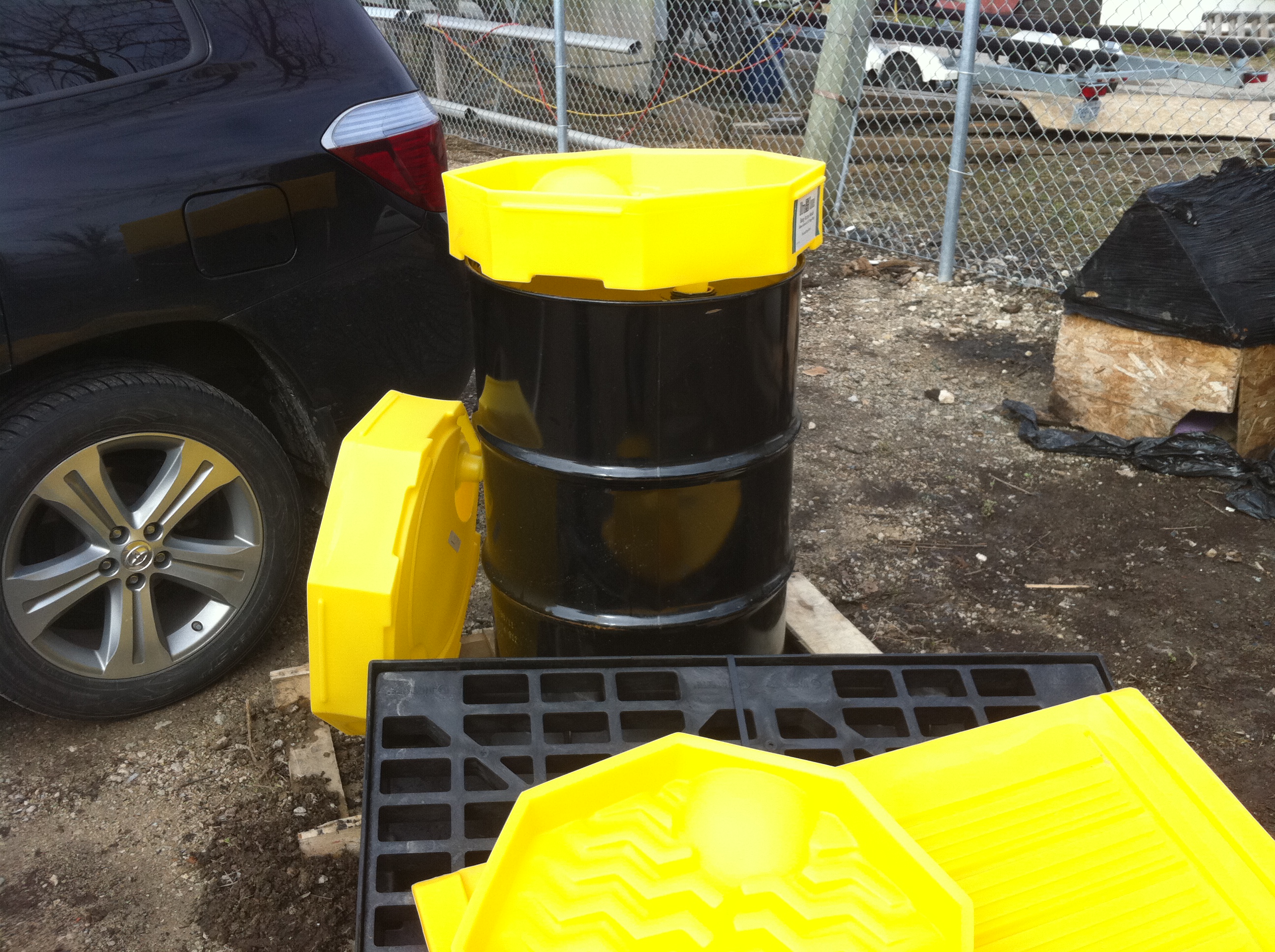
| 16:06, 29 November 2018 | Bernardi and Fedar - solvent containment unit (P2).jpg (file) | .jpg) |
16.6 MB | 1 | |
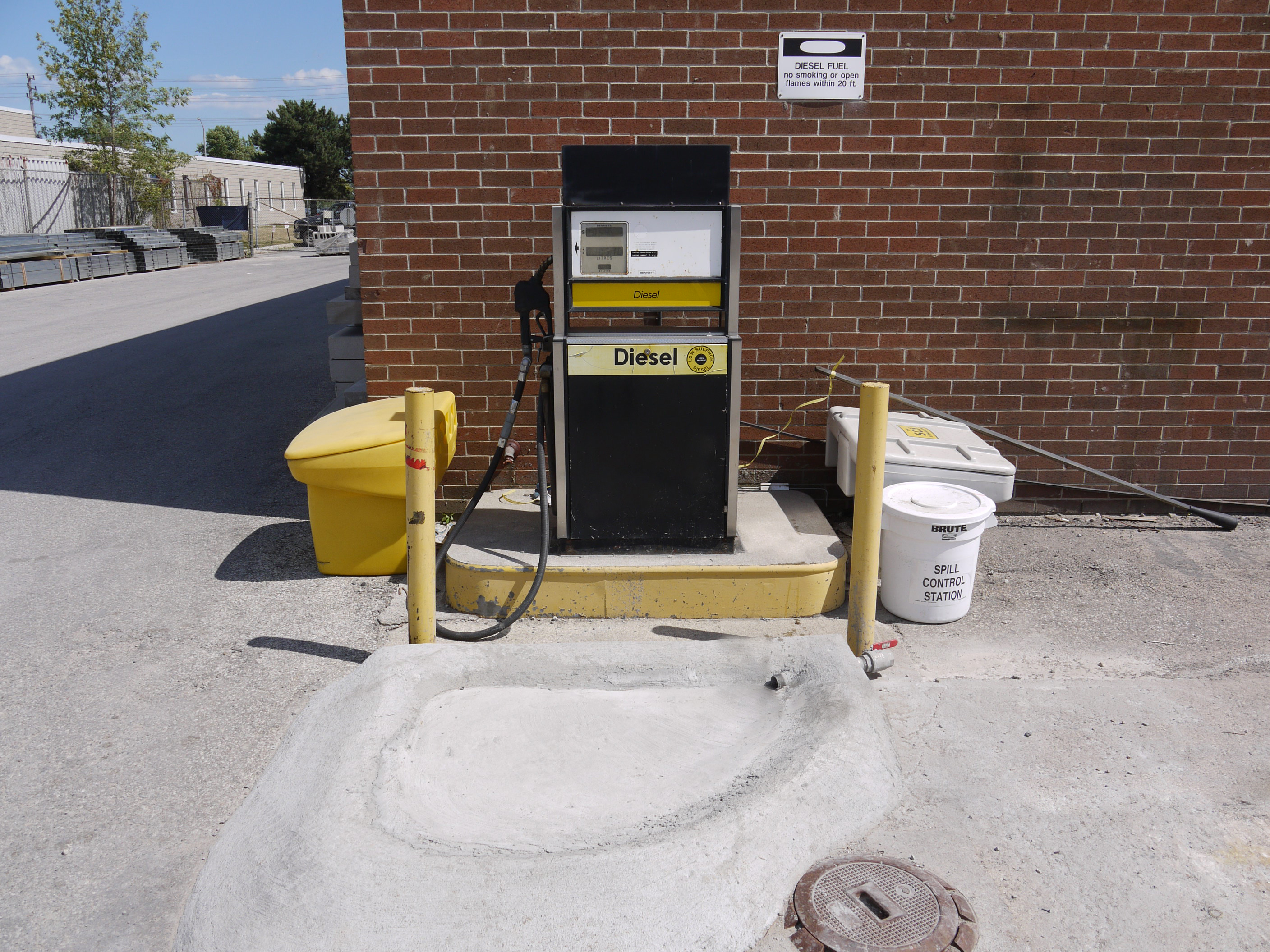
| 15:32, 29 November 2018 | Fueling station - post construction.jpg (file) |  |
3.07 MB | 1 | |
| 15:12, 29 November 2018 | Spill containgment site - pre construction - Mississauga.JPG (file) |  |
1.46 MB | 1 | |
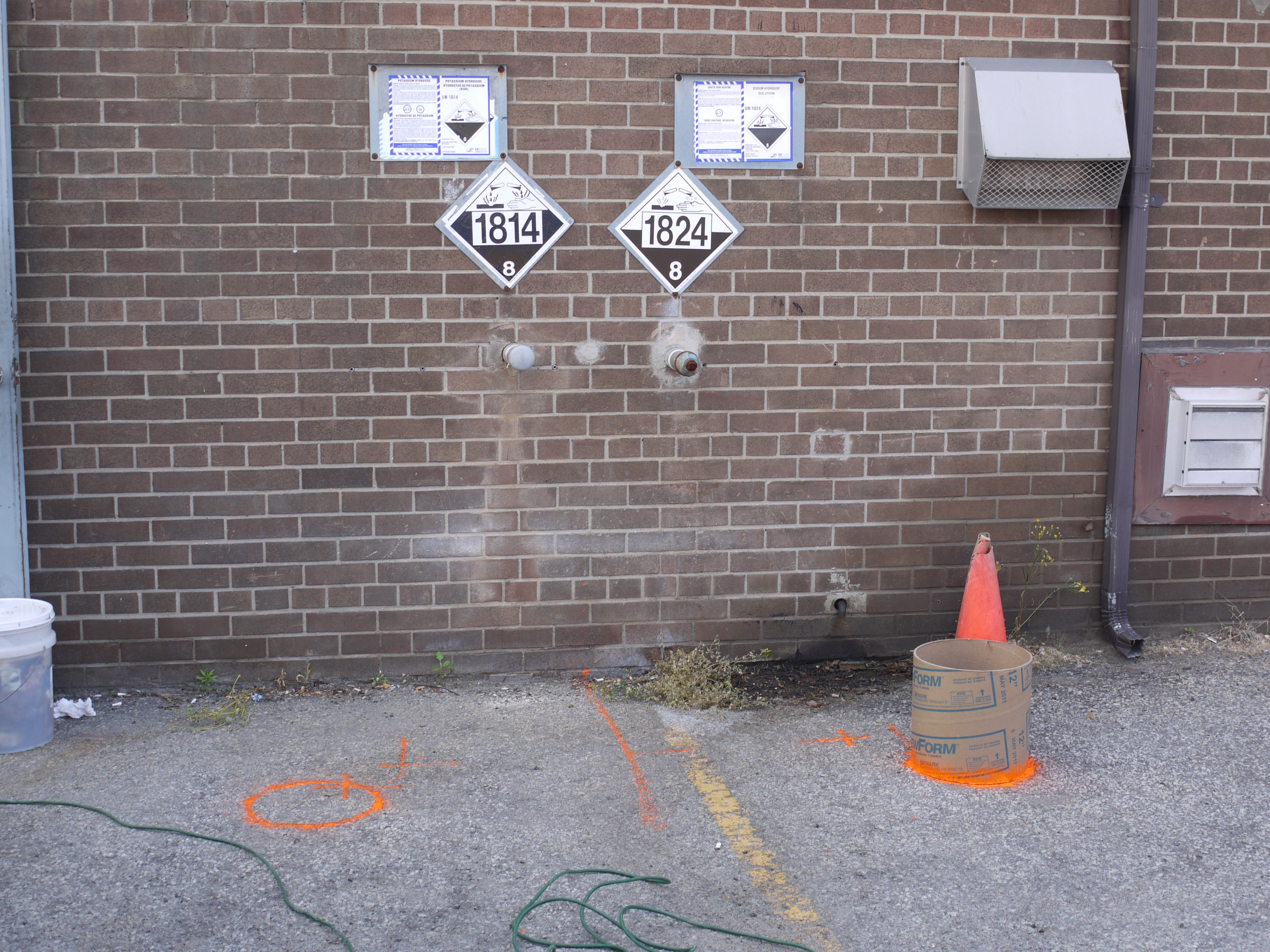
| 15:10, 29 November 2018 | Spill containment structure - Mississauga.JPG (file) |  |
1.48 MB | 1 | |
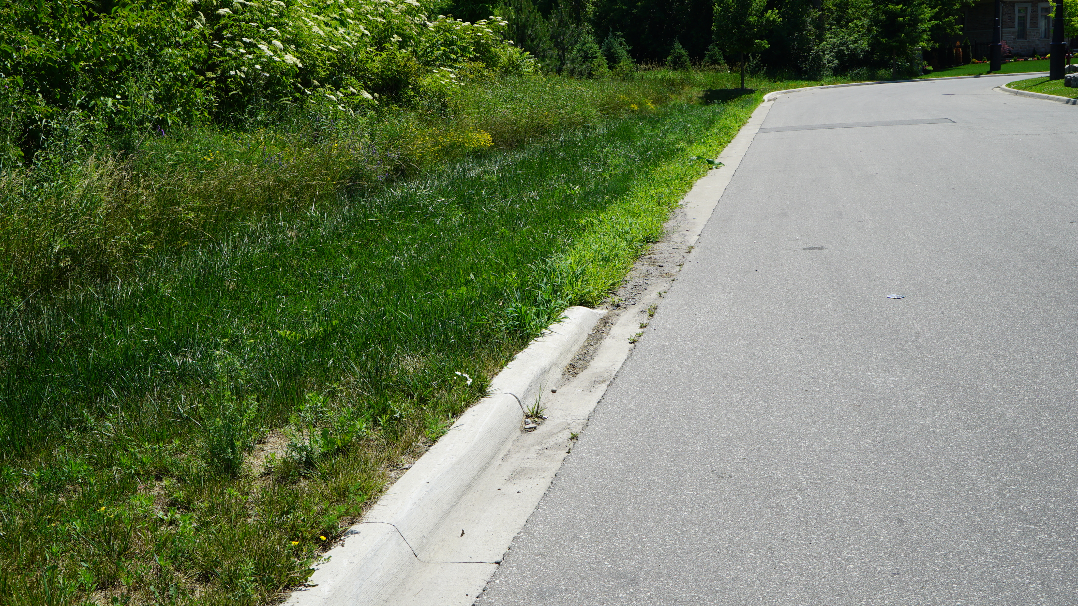
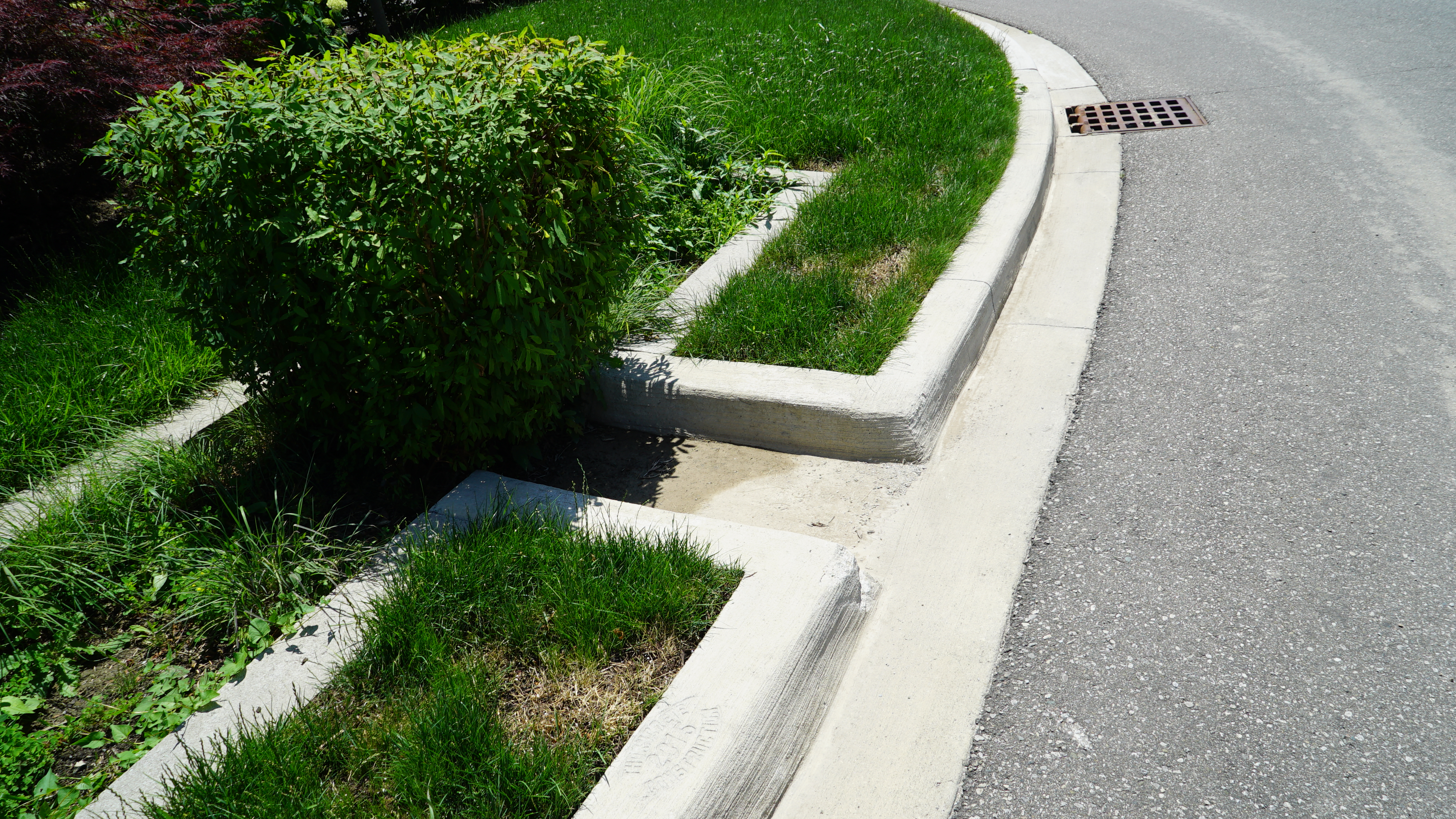
| 18:55, 23 August 2018 | Mississauga Road - Brampton - curb cuts.JPG (file) |  |
6.88 MB | 1 | |
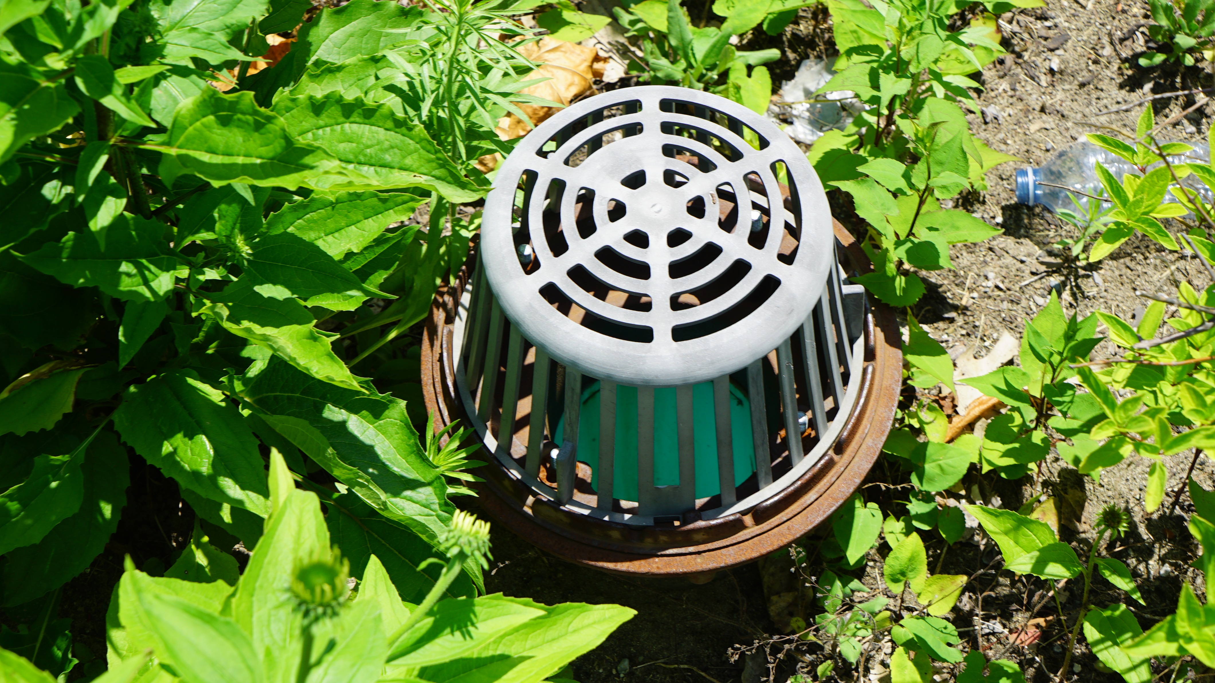
| 18:49, 23 August 2018 | Inlet - clogged - Elm Drive.JPG (file) |  |
9.91 MB | 1 | |
| 18:39, 23 August 2018 | Overflow - Elm Drive.JPG (file) |  |
8.56 MB | 1 | |
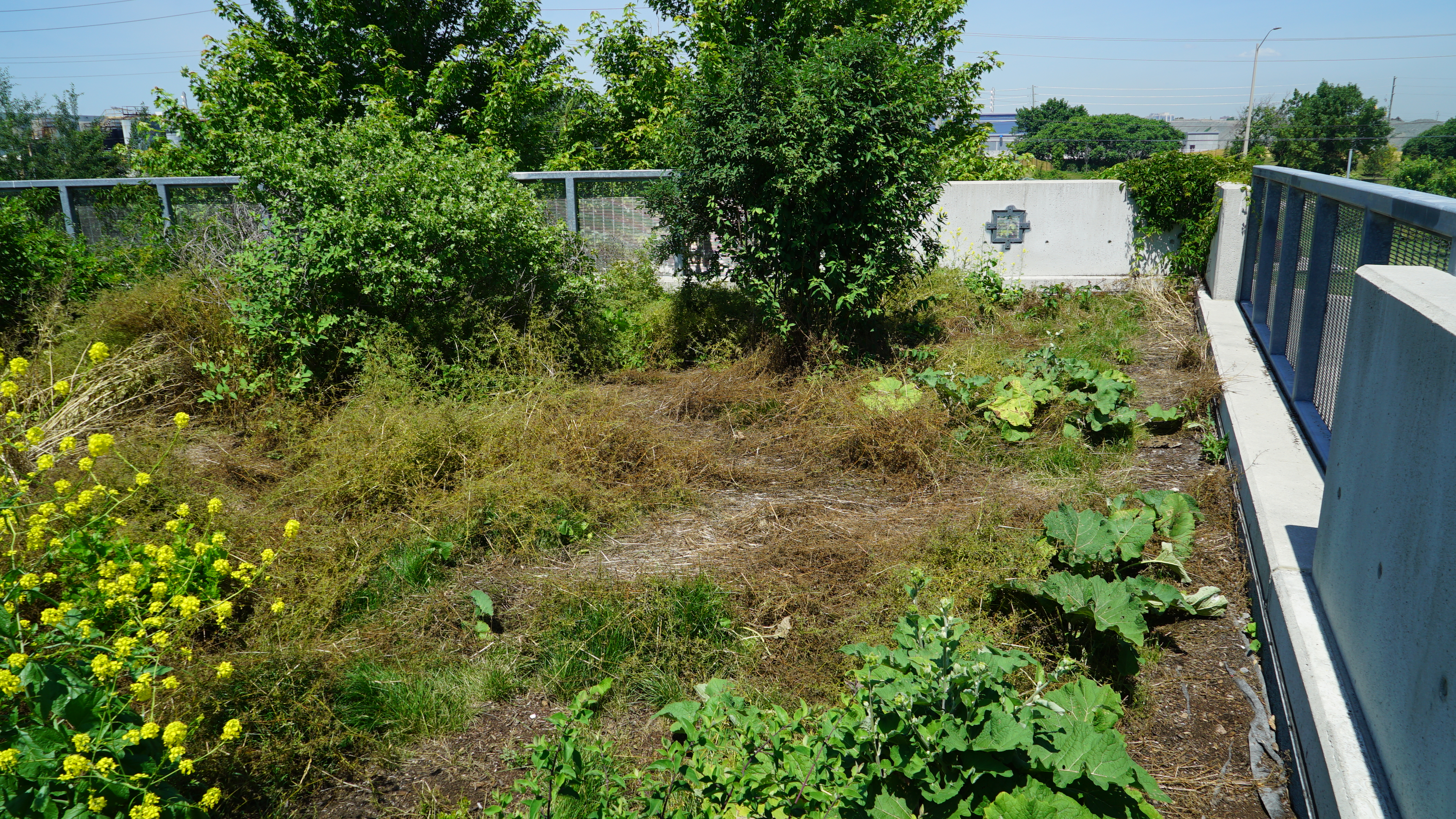
| 18:30, 23 August 2018 | Lakeside - green roof 1.JPG (file) |  |
11.13 MB | 1 | |
| 18:03, 23 August 2018 | Inlet to bioswale - Wychwood.JPG (file) |  |
10.19 MB | 1 | |
| 17:56, 23 August 2018 | Bioswale - sheet flow - Wychwood.JPG (file) |  |
10.72 MB | 1 | |
| 16:22, 23 August 2018 | Infiltration Trench - Wychwood.JPG (file) |  |
11.06 MB | 1 | |
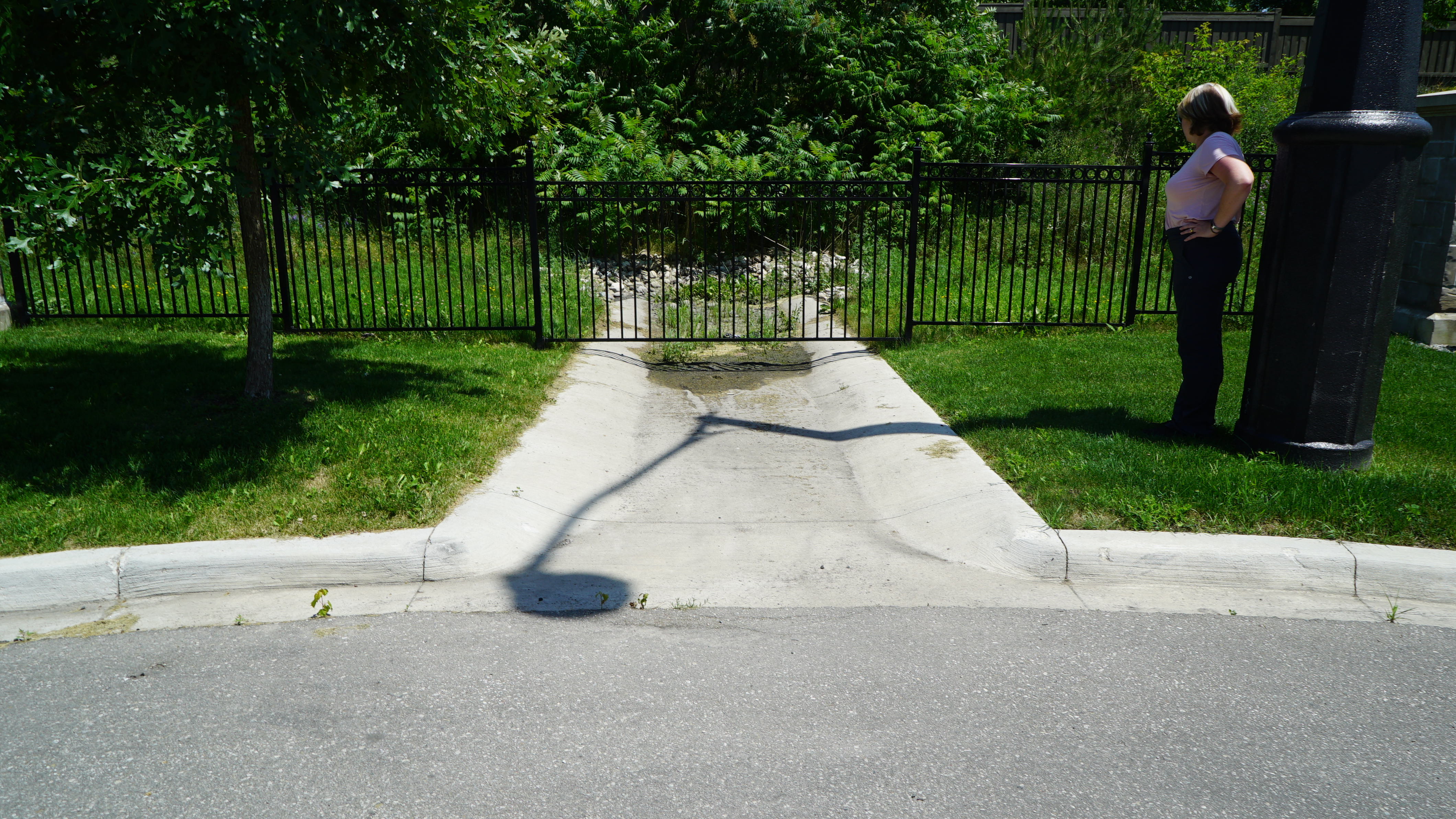
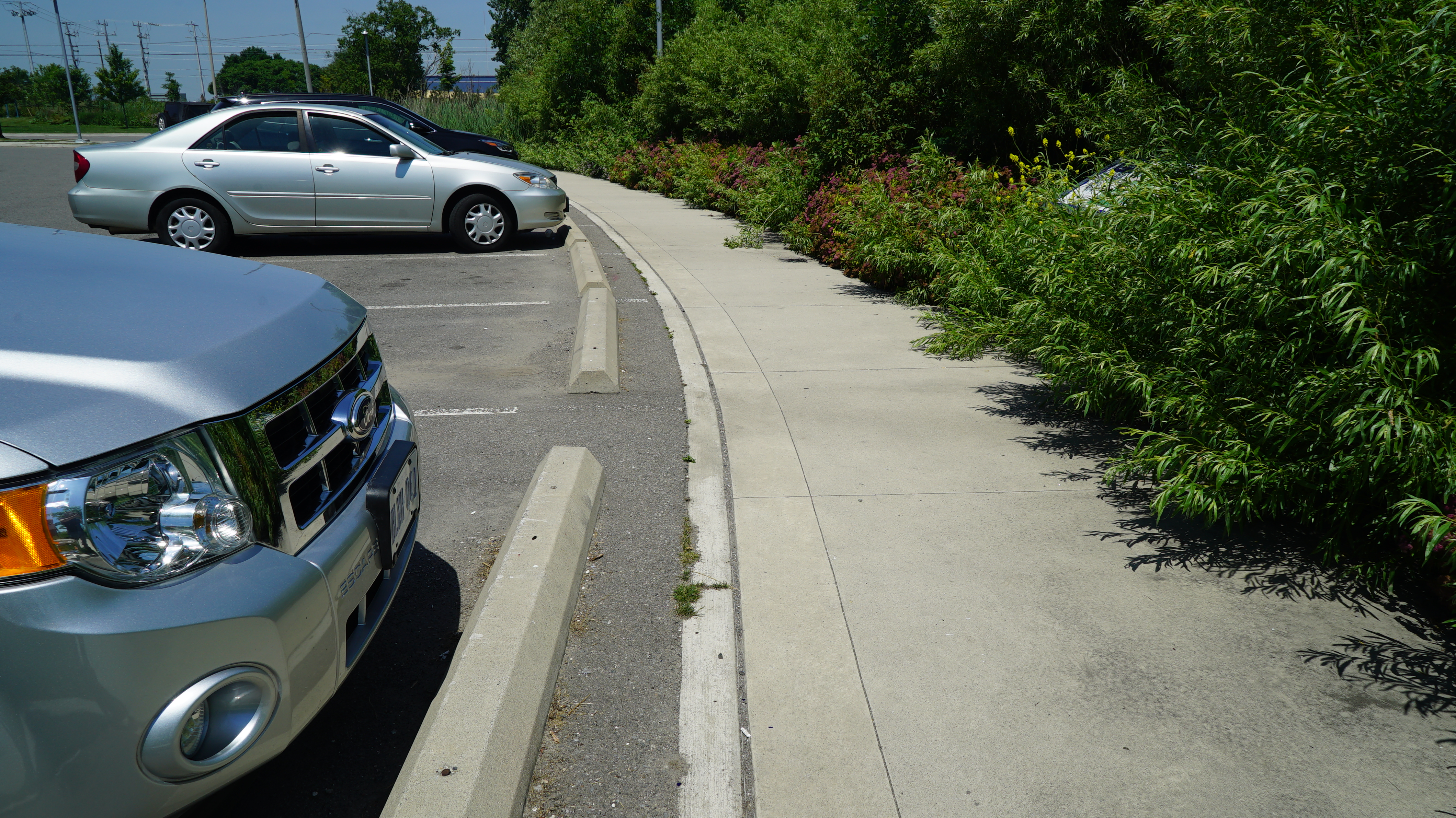
| 16:15, 23 August 2018 | Curb cut - Wychwood.JPG (file) |  |
11.34 MB | 1 | |
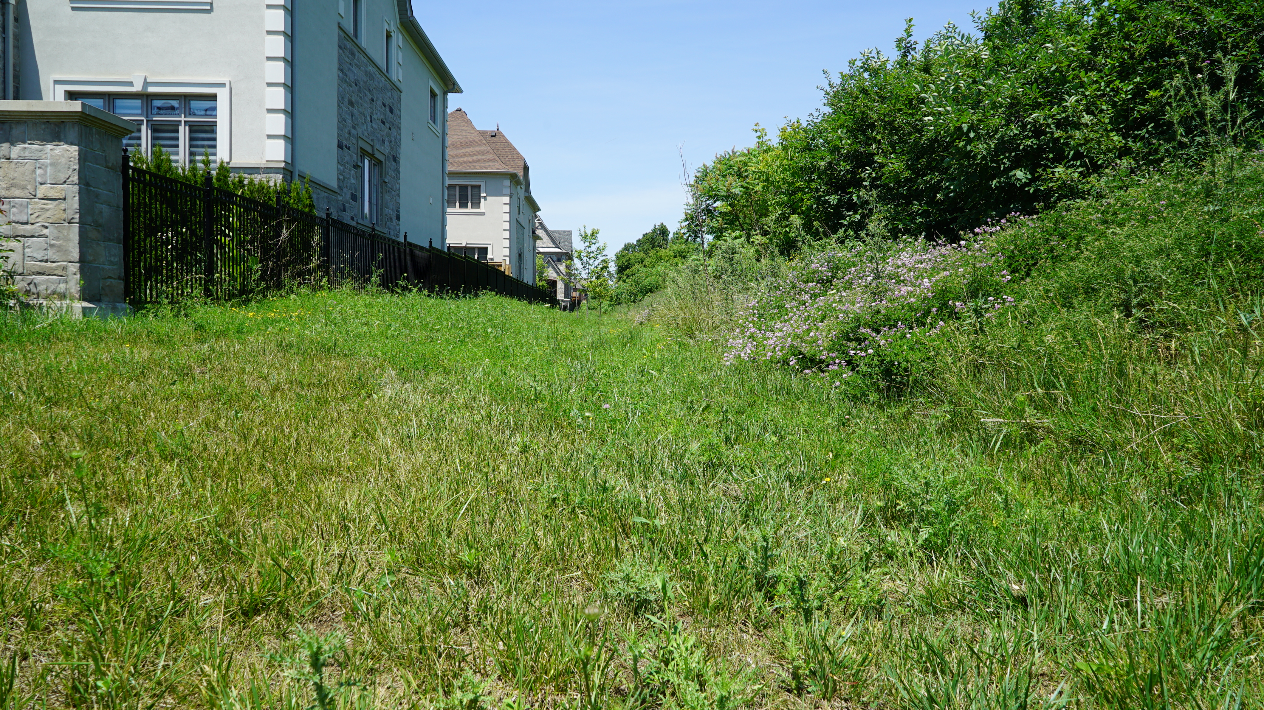
| 15:50, 23 August 2018 | Lakeside - sheet flow parking lot 1.JPG (file) |  |
10.22 MB | 1 | |
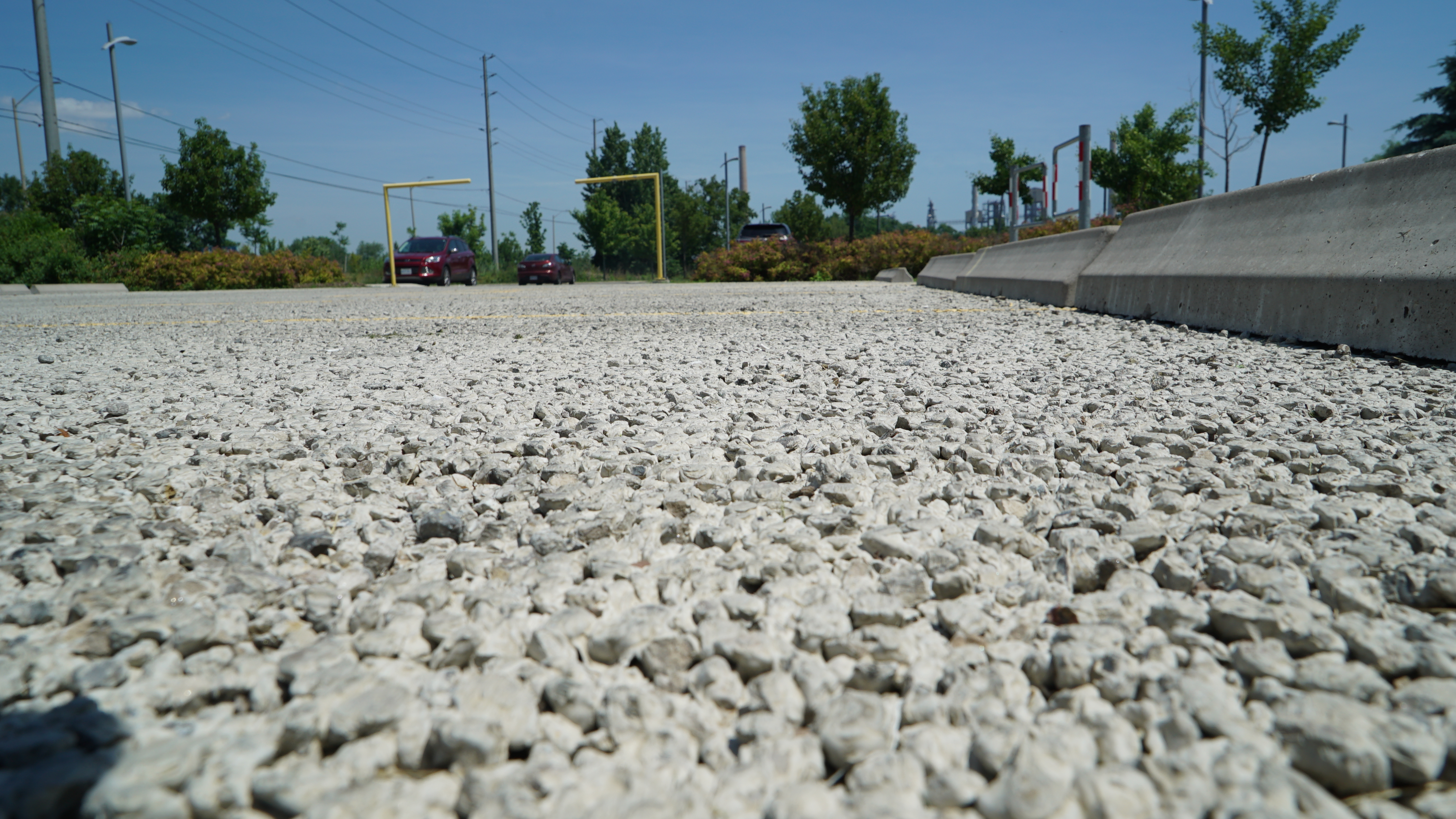
| 15:40, 23 August 2018 | Lakeside - permeable concrete 1.JPG (file) |  |
7.34 MB | 1 | |
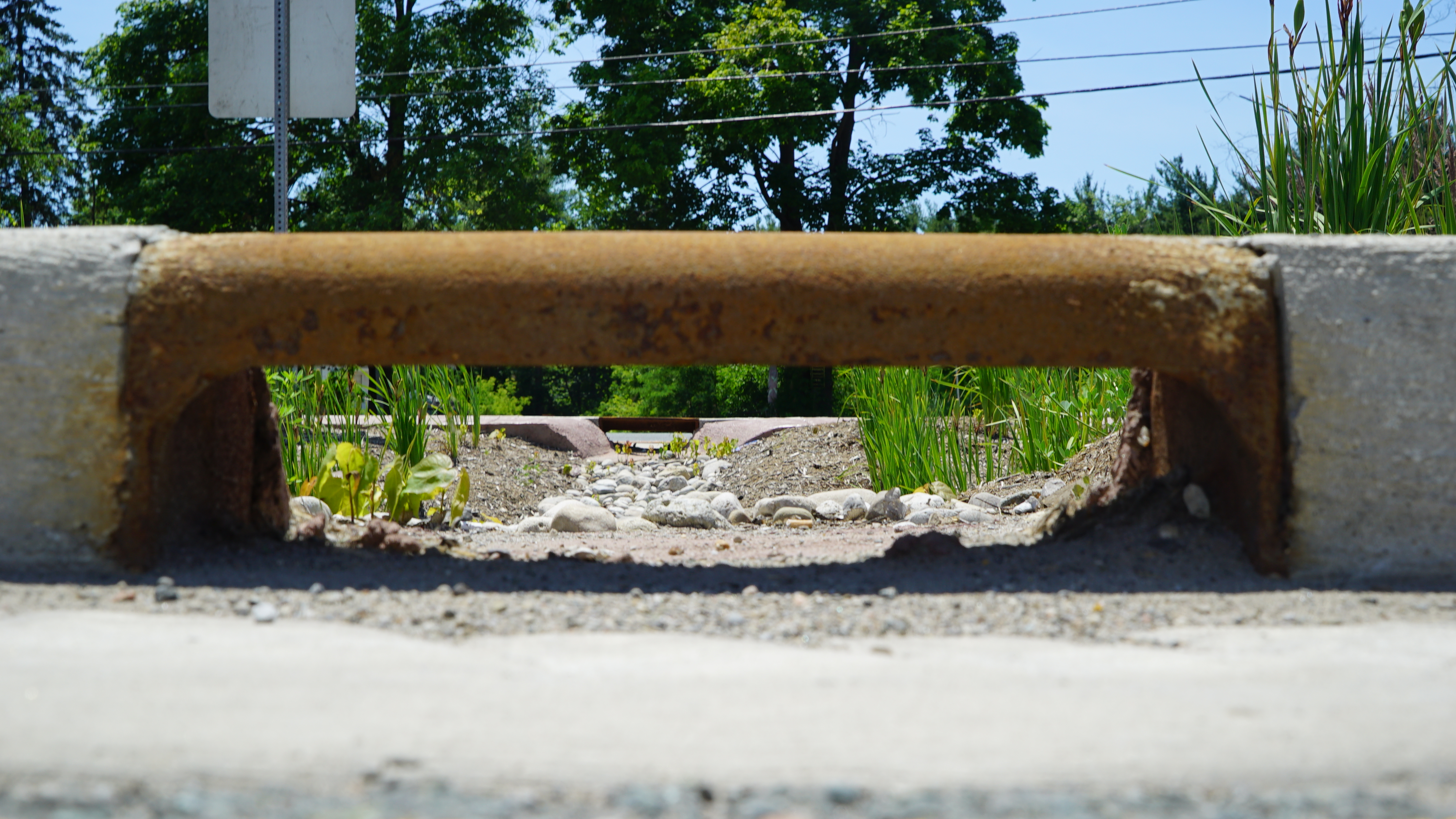
| 13:32, 23 August 2018 | Check dam - Mississauga Road.JPG (file) |  |
3.31 MB | 1 | |
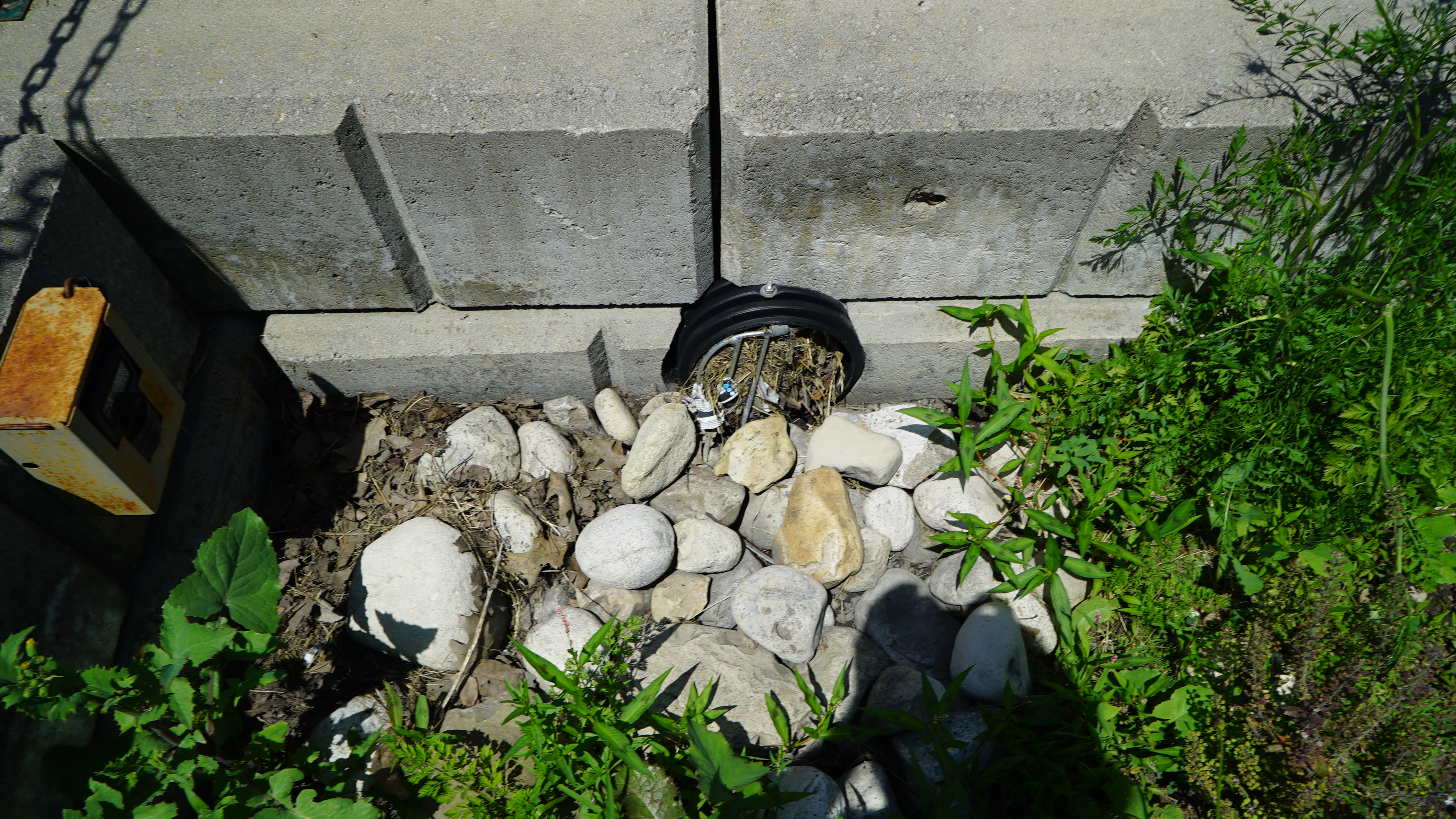
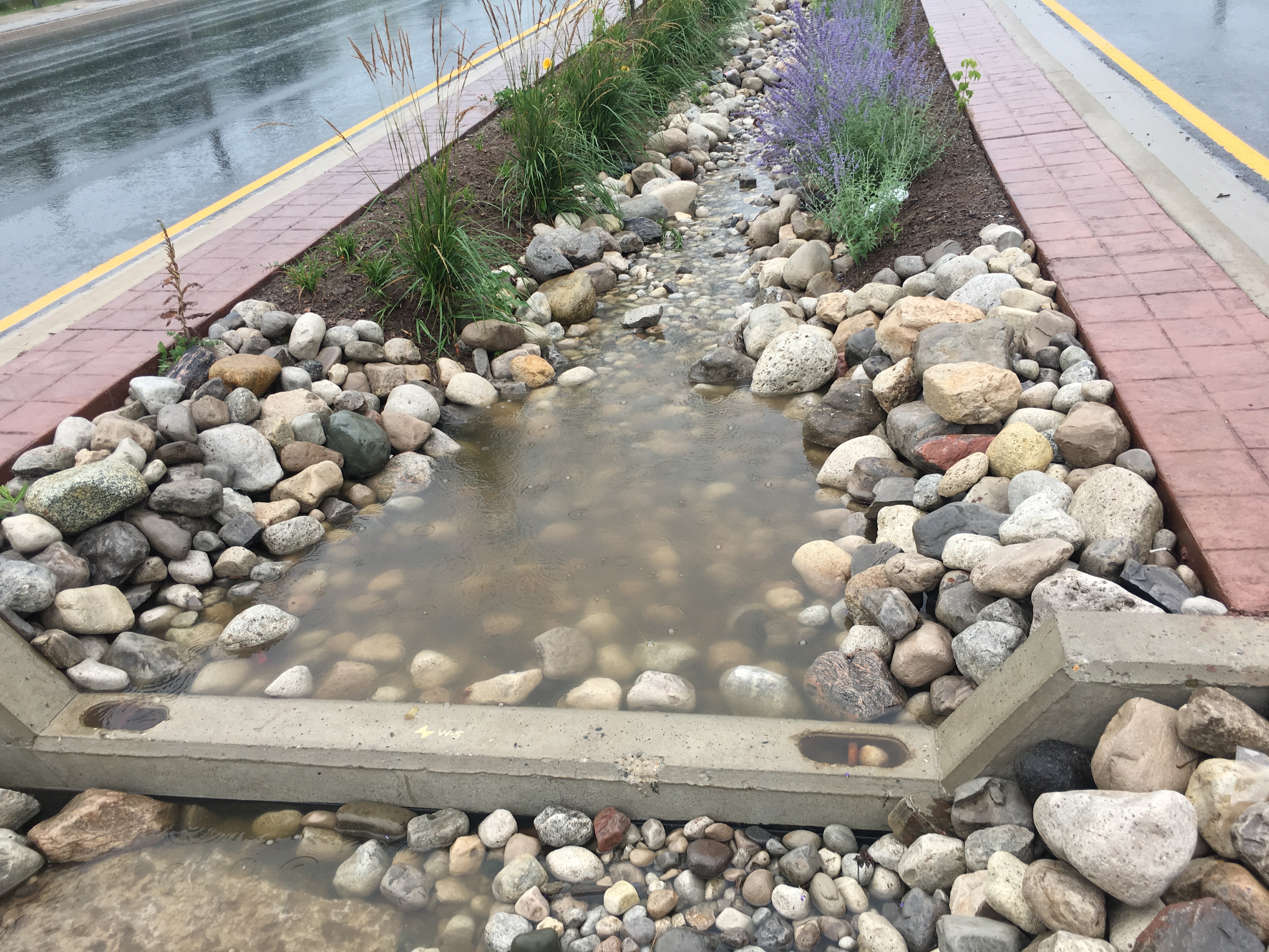
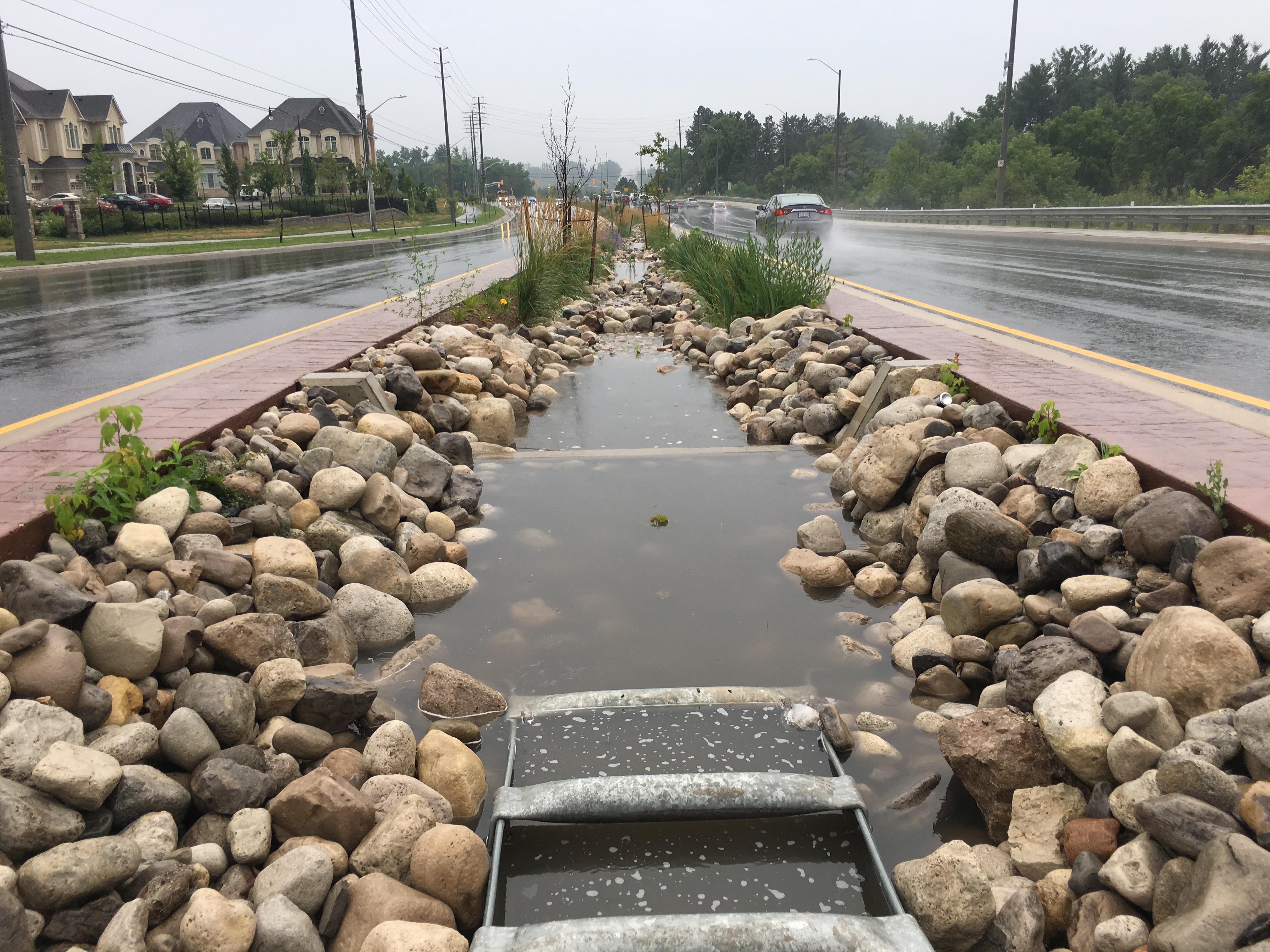
| 13:24, 23 August 2018 | Forebay - Mississauga Road.JPG (file) |  |
2.91 MB | Rounded 'river rock' and a series of check dams slow incoming water, preventing erosion and promoting infiltration. | 1 |
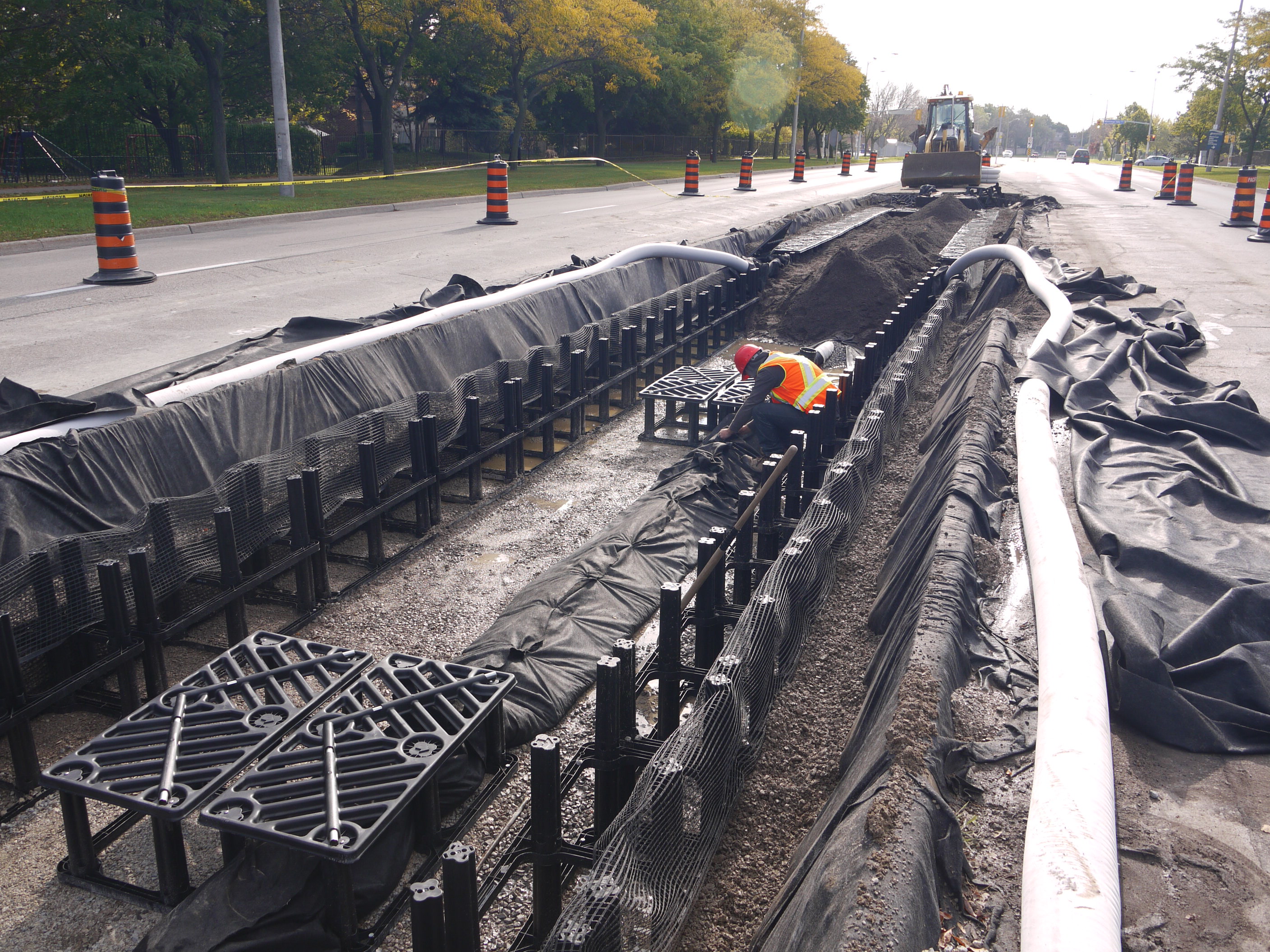
| 13:38, 25 July 2018 | Mississauga - Central Parkway - silva cell installation.JPG (file) |  |
1.43 MB | Silva Cells being installed in 2014 | 1 |
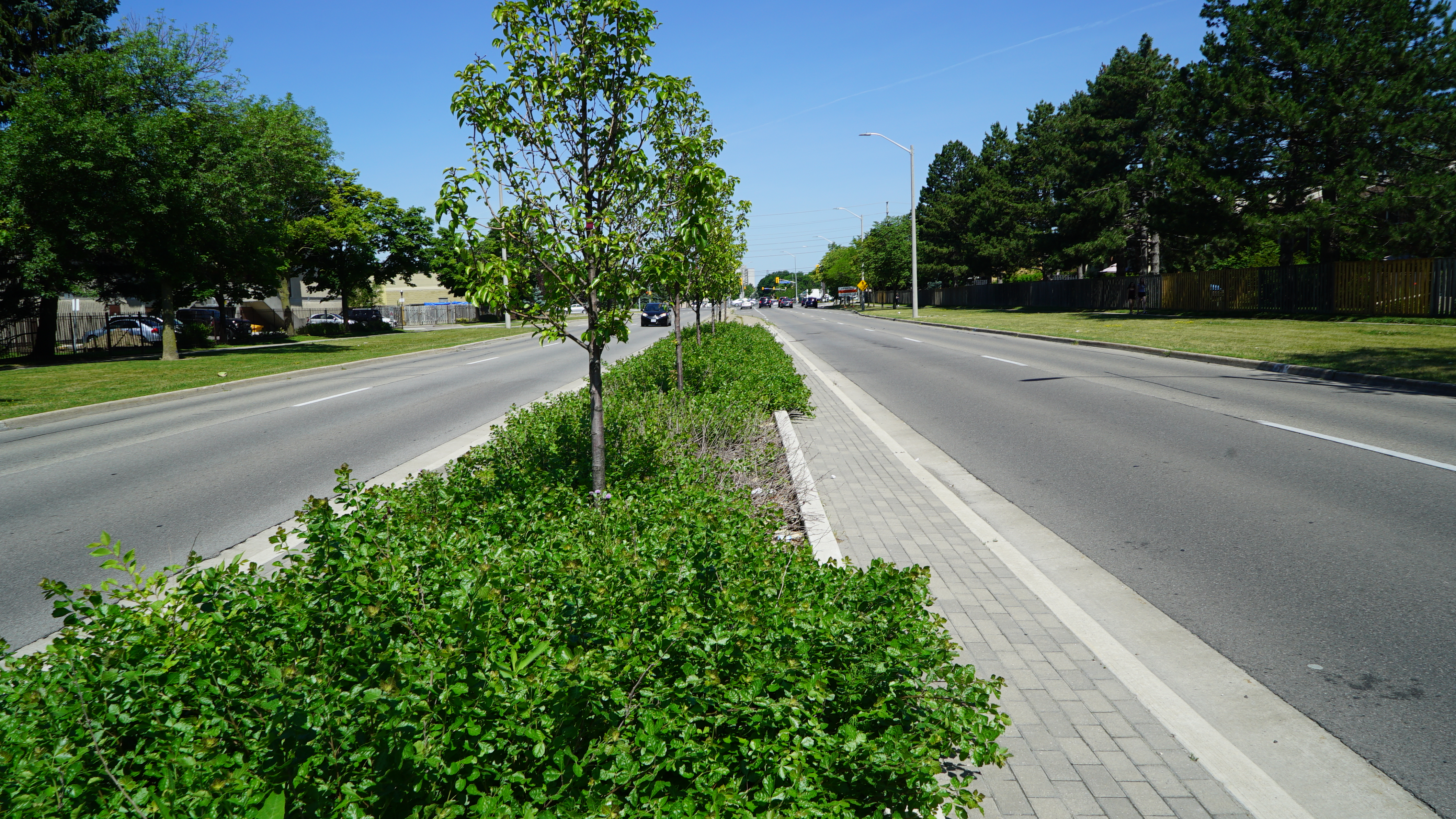
| 13:23, 25 July 2018 | Central Parkway - soil cell, stormwater planter.JPG (file) |  |
10.47 MB | Built in 2014, this stormwater planter on Central Parkway in Mississauga uses Silva Cell technology and is functioning well. Image credit: Credit Valley Conservation | 1 |
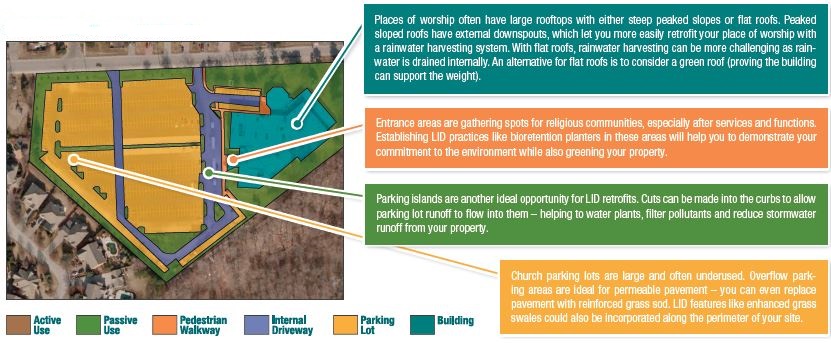
| 18:46, 18 December 2017 | Landforms of a place of worship.JPG (file) |  |
131 KB | This image identifies typical landform features at a place of worship, and describes the LID opportunities found at a typical place of worship. | 1 |
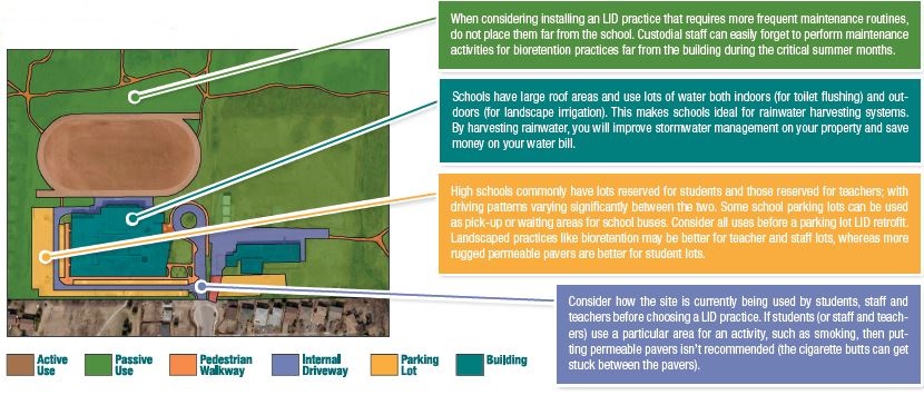
| 16:48, 18 December 2017 | Landforms of a school.JPG (file) |  |
127 KB | Overhead view of a typical school grounds with opporunities for LID retrofits identified. | 1 |
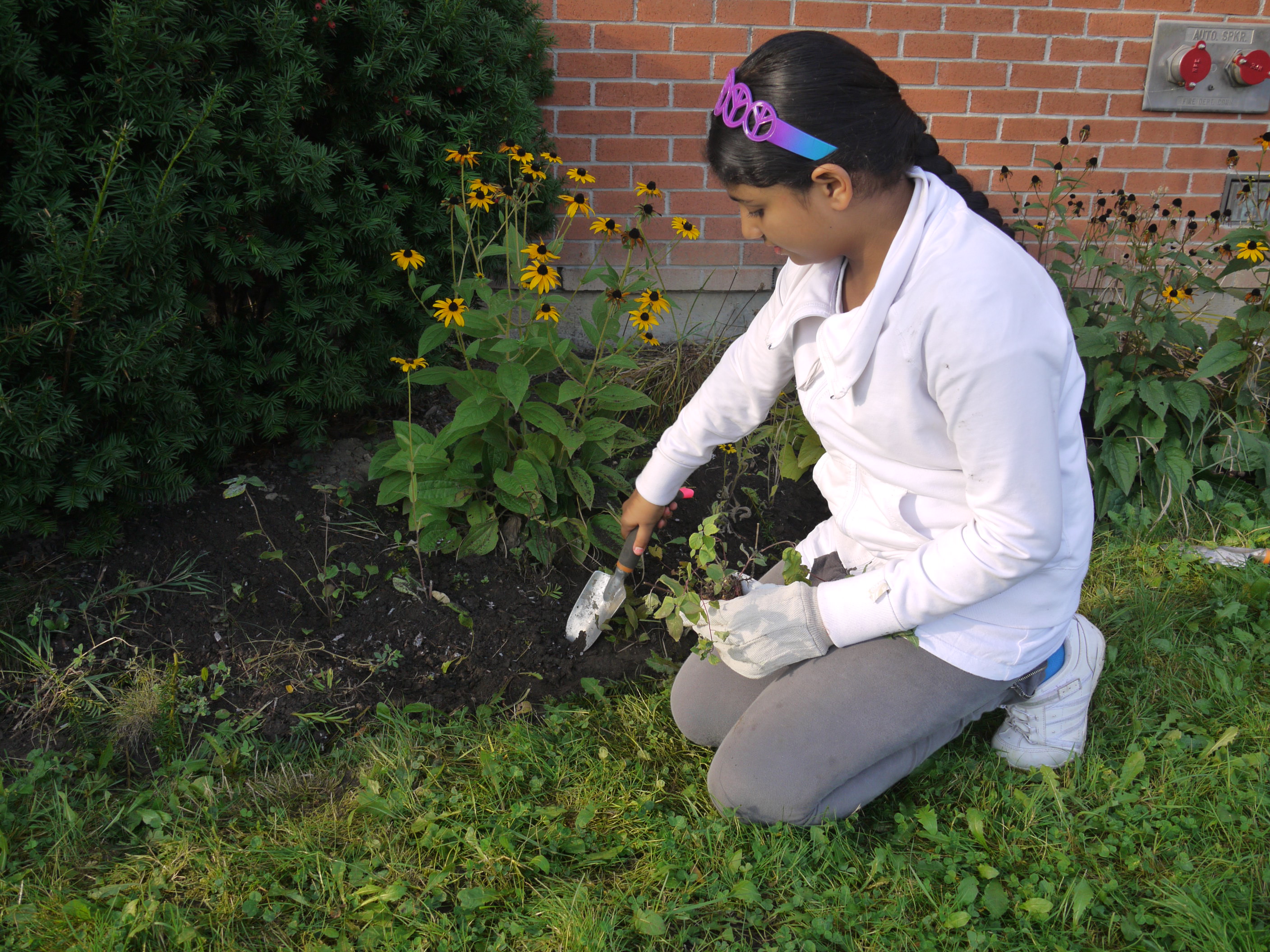
| 16:06, 18 December 2017 | Fletchers Creek Senior School - planting - 2013.jpg (file) |  |
1.42 MB | A student helps with planting at Fletchers Creek Senior School. Small-scale LID projects are a great way to engage with young children. | 1 |
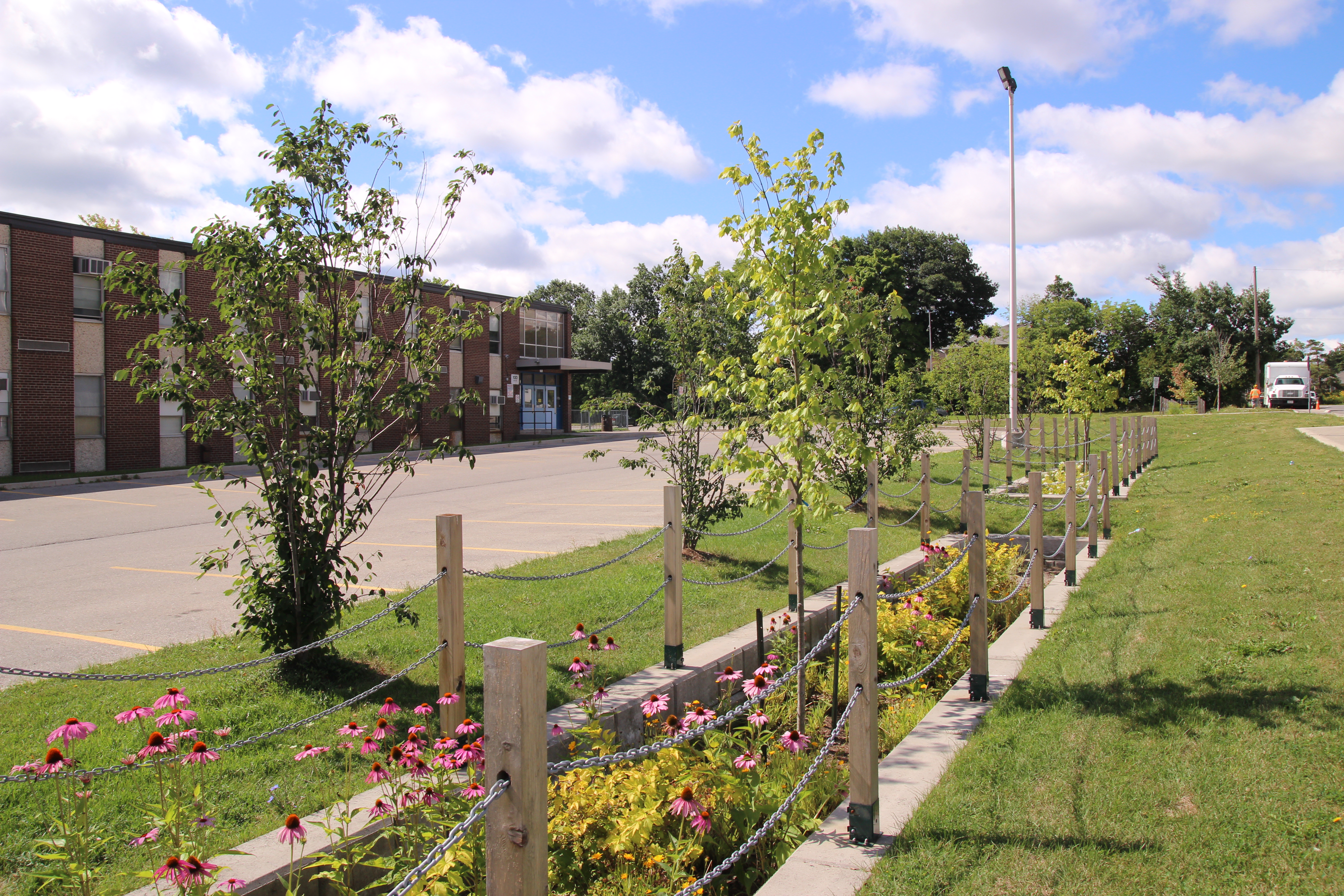
| 15:41, 18 December 2017 | Elm Drive Bioretention.JPG (file) |  |
9.38 MB | The Peel District School Board's Adult Education Centre South school partnered with the City of Mississauga to manage runoff from the adjacent street, Elm Drive, on their property. This partnership benefits the City by giving it space to provide and en... | 1 |
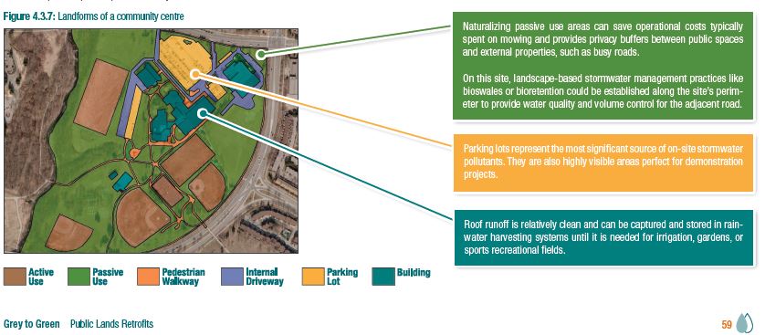
| 15:16, 5 December 2017 | Figure 4.3.7 (G-to-G Public Lands).JPG (file) | .JPG) |
71 KB | Graphic overview of a park, with different use areas identified. | 1 |