Difference between revisions of "Forebays: Gallery"
Jump to navigation
Jump to search
Jenny Hill (talk | contribs) m |
Kyle menken (talk | contribs) m |
||
| (6 intermediate revisions by 2 users not shown) | |||
| Line 1: | Line 1: | ||
| − | < | + | <gallery mode="packed" widths=200px heights=200px> |
| − | Forebay AV.jpg|Forebay connected to drainage area in the roadway with a curb cut, overflow visible in the centre of | + | Solid splashpad.jpg|Solid splash pad preventing erosion from the flow from the [[inlet]]. Image credit [https://www.flickr.com/photos/dylanpassmore/ Dylan Passmore] |
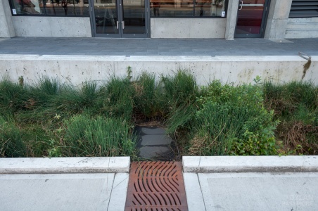
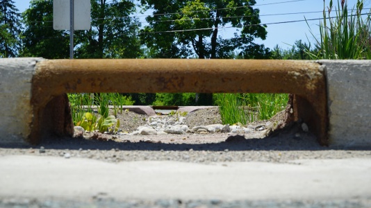
| + | Forebay AV.jpg|Forebay connected to drainage area in the roadway with a [[curb cut]], [[overflow]] visible in the centre of the feature, level spreading is encouraged with the rock [[check dams]], Milwaukee, WI,[[Acknowledgements| Photo credit: Aaron Volkening]] | ||
| + | Forebay - Mississauga Road.JPG|Rounded 'river rock' and a series of check dams slow water from this [[inlet]]. | ||
| + | Inlet to bioswale - Wychwood.JPG| This forebay has a rock splash pad to slow water down before it reaches a [[bioswale]]. | ||
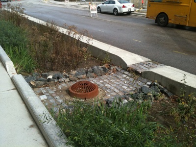
| + | Mississauga Road - Brampton - curb cuts.JPG|Incoming water from these curb cuts is slowed by river rock splash pads. | ||
</gallery> | </gallery> | ||
[[Category:Gallery]] | [[Category:Gallery]] | ||
Latest revision as of 18:58, 23 August 2018
Solid splash pad preventing erosion from the flow from the inlet. Image credit Dylan Passmore
Forebay connected to drainage area in the roadway with a curb cut, overflow visible in the centre of the feature, level spreading is encouraged with the rock check dams, Milwaukee, WI, Photo credit: Aaron Volkening
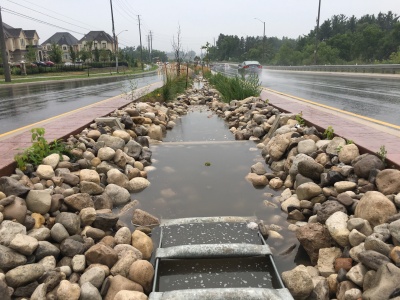
Rounded 'river rock' and a series of check dams slow water from this inlet.
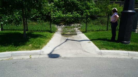
This forebay has a rock splash pad to slow water down before it reaches a bioswale.
Incoming water from these curb cuts is slowed by river rock splash pads.


